Pin: A Thai word meaning "to be careful" or "to be cautious."
Trip: Superhuman Trip: Episode Climbing the Abyss, Overthrowing Every Shot
Road trip: Chiang Mai - Mae Hong Son
Travel Cost: 1690 Baht per person for a group of 3.
Detail: Hiking to the summit of Doi Pha Ti Do: A review. Oh, it's better to crawl.
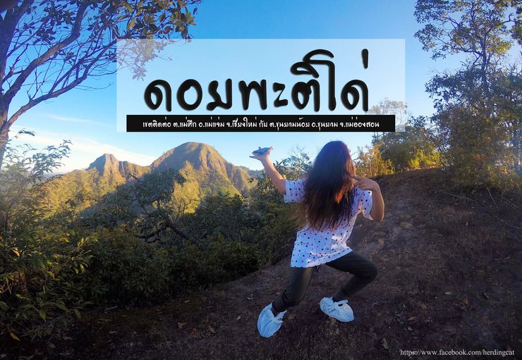
Doi Pha Ti Do, also known as Doi Lung Yai, is a quiet mountain that conquers everyone. It is a mountain with intricate, mysterious, and intriguing terrain. It is very natural, uncrowded, and has no shops or businesses in the area, which is located on the border of Chiang Mai and Mae Hong Son provinces. Many people may not be familiar with this mountain, but if you mention Doi Mue Ko Do, or Doi Pa Yai, you may have heard of it. However, if you are going to visit, you should visit both mountains. For those who enjoy hiking, you will probably enjoy the natural trail of Pha Ti Do, which is slippery with rocks, dirt, and your body dragging down into the dust without warning. No ropes, no slings, no stunt doubles. How brutal, fun, hilarious, and tearful is it? Let's see!!..

...See other attractions at https://www.facebook.com/herdingcatsADV
Our journey began in Chiang Mai province, heading towards Mae Hong Son province via Doi Inthanon, to reach the Pang Ung Royal Project Development Center, as arranged with our guide.

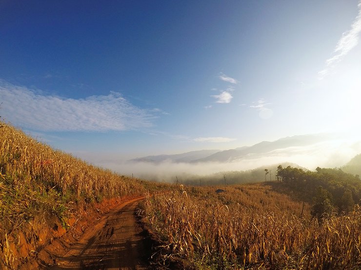
The scenery along the way is breathtaking. The mist here is easily visible, no need to reach the mountaintop.

After traveling over a hundred kilometers, our trusty steed, the mist-colored horse, brought us to the Pang Ung Royal Project Development Center, located in Mae Chaem District, Chiang Mai Province (GPS: 18.791197, 98.159264).

It's time to change vehicles to suit the road conditions.

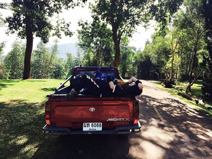
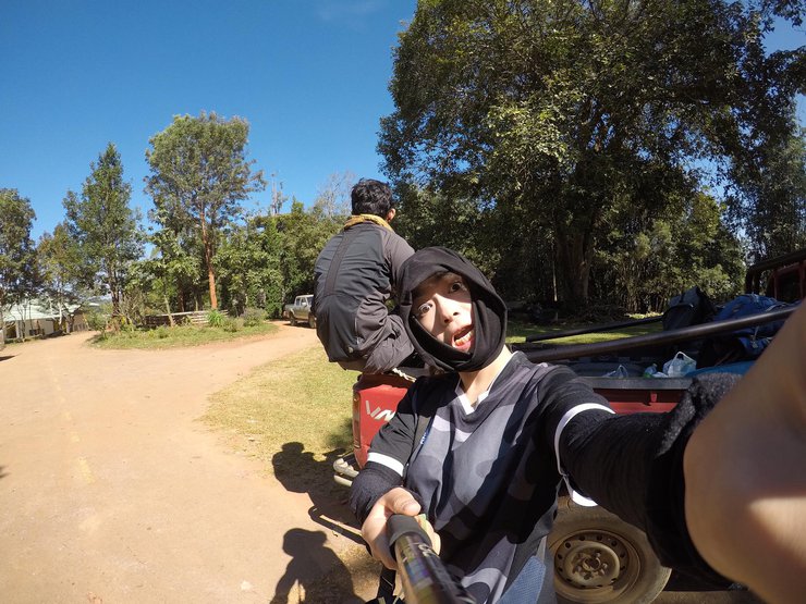
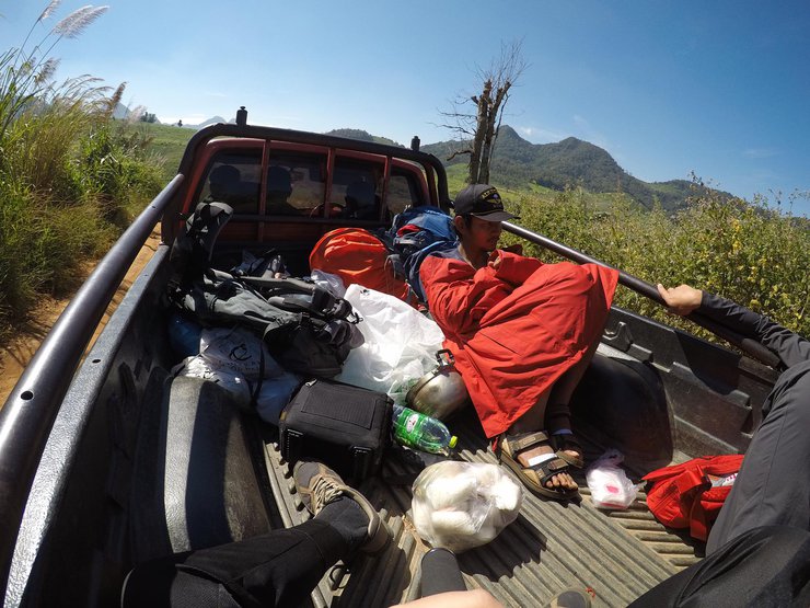
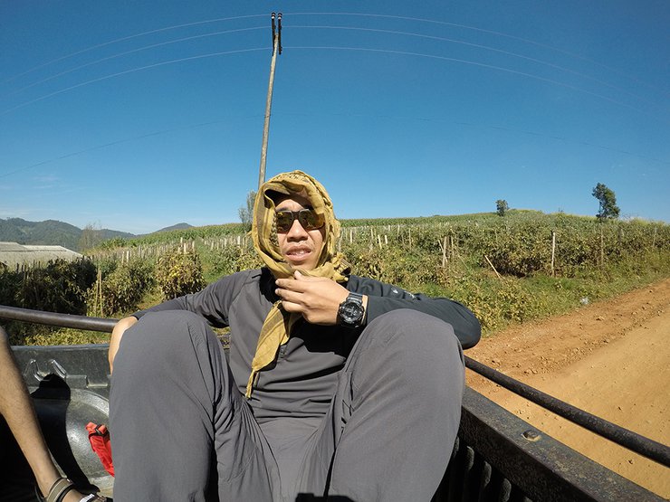
To reach the starting point of the Doi Pha Ti Doi hike, we had to take a pickup truck into the village. The road was initially paved but soon turned into a steep, gravel path. We even had to drive through streams! The adventure was exciting, and the surrounding hills offered stunning views for photos. Wildflowers, including Christmas flowers and borage, lined the roadside. However, the heat was intense, making us wish we could vanish. The gravel road was a mix of loose and hard-packed soil, creating significant dust. It's highly recommended to bring a scarf or bandana to cover your face and head.


After traveling for almost an hour and covering nearly 10 kilometers from Pang Oung, we arrived at a local garden that serves as the starting point for the trek to Doi Pha Ti Doi.

Alright, let's go!


The forest is not only dense, but the path is also unclear. The fallen leaves obscure the way, making it easy to get lost. The steep path is shaded by the dense canopy, creating a stifling and humid atmosphere.


We soon arrived at a fork in the road between Mu Ko Phai and Phatthalung.

Turn left at the traffic light.


The trail is a mixture of sandy slopes and rocks of this type.

On our way, we had to summon the wind spirit to possess our bodies (bright colors, not anything else, different cameras 55)


Cutter vs. Whetstone: A Clash of Hardness and Sharpness

We soon arrived at the campsite.

Oh, hey! We've encountered another group of people. This trip won't be lonely after all. So, at this point, there are only two small groups occupying this area. Haha!

Hello, mountain, let's test our courage. It's not as far as we thought. We will conquer the peak together.

The hike from the starting point to the campsite takes about 2 hours. It's only tiring at the beginning, and it gets easier later on. (Wait a minute) Who said this mountain was difficult? It's not that bad at all. It only takes a short walk to get there. (Still not realizing)

We later learned that we had to hike to the top of Doi Pha Ti Doi, the narrow ridge you see there. We'll set off again at 3 pm.

May your body be strong.

It's not far from here, why do we have to walk at 3 pm? Can't we walk at 4 or 5 pm? Let's see.

The initial distance from the campsite to the summit of Doi Pha Ti Do.

You can easily walk here, or even run. It's flat, shaded, and in good condition.

And then the truth (just the beginning) came to us. We had to walk along a steep, loose dirt path, our hands clinging to the grass (which could come loose at any moment), our feet digging into the soil. We kept going, thinking that it couldn't be much further, so I turned to the guide and asked, "Will the path be like this all the way?" He replied, "All the way to the top of this mountain."

What is it at the top of this mountain?…….
What is it at the top of this mountain…….
What is it at the top of this mountainnnnnnnnnnnnnnnnnnnnnnnnnnnnnnnnnnnnnnnnnnnnnnnnnnnnnnnnnnnnnnnnn…….

Amen pushed himself up to continue...

We have finally reached our destination!

Oh, come on! We can't even stand for a moment. This is not what we talked about.
And then, from being hikers, we completely turned into crawlers. For those who are short, or politely called small, it would be a bit difficult. Not a bit, but quite a bit. Because each section that we had to crawl up required us to use our hands to grab and pull on the sharp grass that felt like lemongrass, supporting ourselves up the steep path. The clumps of grass were sometimes close together, sometimes far apart, so we had to keep digging into the soil. It is recommended to bring gloves, because we made the mistake of not knowing that we would have to use our hands so much. 555

And then we crawled up to the top of the mountain (just a part of the whole mountain) to take a picture to remember the moment.

Deeply connected, without the need for profound explanation. 555

A warrior bears scars.

Keep fighting, Takeshi is not here.

The trail ahead is passable on foot, but it is a ridge with a narrow path. The ground is a mixture of loose soil, sandstone, small stones, and gravel, with patches of tough grass. Please walk with caution.
How much further, brother?

Not far, that hill over there!!

Okay, let's continue. It's okay to feel discouraged, but don't give up.

Oh no! This path is too steep! Can we turn back?
The saying "stuck between a rock and a hard place" perfectly describes our situation. We can't go back, but we can't move forward either. It's like something is holding us back from choosing either path. Haha! This is because the hiking trail changes dramatically. The summit is so steep that we have to crawl on all fours (literally crawling). Forget walking on two feet; we're practically walking on four legs, popping our heads up and down like turtles (wait, are we turtles now? Haha!). But if we were to compare ourselves to turtles, it wouldn't be far off. We have to move slowly and cautiously, clinging to anything we can grab. The climb to the summit is incredibly steep, so steep that we get to enjoy breathtaking panoramic views along the way.

Goodbye, see you on the next trip. Can I let go? Should I die? Or should I not die? In the end, I won over myself. I can't die! Hahahaha (What was the point of coming all this way?)
Honestly, I was very discouraged at that time. For a first-time hiker, even though this mountain wasn't my first, it was still part of my first trip (the superhuman trip hasn't been written yet). Because this mountain was the 3rd mountain after I went to conquer the Sano Nok Wua, Doi Luang Chiang Dao, and then came to Doi Pha Ti Doi. Climbing up and down mountains for 4 days, 3 mountains. My skills went from 0 to level up just like that. Hahahaha. I'm not good, but you don't know until you try, right? Well, now I know. I bow to the mountain...


As you approach the mountain peak, the first rays of the sun peek over the horizon, casting a golden glow on the mountain's edge. The sight is breathtaking.

Individual conditions

And here we are at the starting point of our journey on foot!

The summit of Doi Pha Ti Doi is covered in grass, and anyone who is hungry can just pluck and eat it. 555 There are some thorns in some places, just enough to tickle your throat.

From Doi Pha Ti Do, you can see the peak of Doi Mue Ko Do over there! And the view from over there must also see Pha Ti Do here for sure.
Why did I choose to climb Doi Pha Ti Do? Because I asked my brother which one was harder, Pha Ti Do or Mue Ko Do. He said Pha Ti Do. Since it wouldn't be difficult, we wouldn't end up at Pha Ti Do. Oh my, I give up! 555

We made it!!
The difficulty of a mountain depends on the individual. What is easy for one person may be difficult for another. For me, this mountain was challenging, but I know there are even more difficult ones out there. I encourage everyone to try it out and see for themselves. You'll never know what it's like until you reach the top. Just be careful and make sure you have insurance!

Take a break.

Nice to meet you, Uncle Kado. Auntie is so far away (see you next time). We will come back again.

A thrilling image of a superhuman trip to the top of Mount Phatido (only 3 people left, lol) 555

It will all pass (my hand)

The surrounding views may not be the answer you are looking for... For those who love the beauty of nature, mountains, and sunlight, this place may not be the best choice. The sunset here is not as breathtaking as other places, and the mountains are raw and natural, without any fancy patterns or "wow" factor. There are no beautiful signs to indicate your arrival. However, this mountain, this Doi, is suitable for travelers who need to conquer their own hearts, to let their minds be the master and their bodies the servant, and to climb to the top.

Along the way, you may be reminded of many stories that have come to pass in your life. Why are you here? Because travel is learning. The mountain is in the heart. Can you conquer it? It's up to you.

The air above is very cold, and no one will survive to watch the sunset. Because it seems that only the twilight is enough. If it is dark, it will be difficult to climb down the mountain. Because going up is difficult, going down is more difficult. Love you, Phatido!!


Oh my god, I'm so scared! Can I sleep here? I'll climb down tomorrow morning.
(I didn't take any more pictures, or I would have fallen flat on my face. It's really as difficult as they say. Going down is even harder than going up.)
Climbing down the mountain was a real struggle. The path was very steep, and the rocks were far apart. I had a lot of trouble with my short legs. I would lower my leg and not be able to find a place to step. My hands would just hang there until I found a place to put them. It's important to be in good physical condition, or you could easily fall.
I asked the people below how deep it was (just in case I fell, so I would know what to expect). They threw a rock as an answer. It made a loud thud. Okay, I get it. The sound effects were very far away. I'll just keep climbing down the mountain.
When climbing this mountain, you should bring gloves and a flashlight. They are very important. When climbing down, be careful not to let rocks roll down and hit the person in front of you. The terrain is a ridge with loose rocks and sand, so accidents can easily happen. When climbing down, don't lean forward too much, or you might tumble down the mountain. Gravity will pull you forward. It's better to turn your back and hold onto the rocks in front of you, then climb down with your legs. Have your friend watch your back. The person in front will have to watch out for themselves. When climbing down, use your flashlight near the ground. Don't shine it forward, up into the sky, or at the trees. There are a lot of wasps there, and if they are disturbed by the light, your night might not be so pleasant.
From 5:30 pm until almost 2:30 am, we crawled, I mean, walked, to the campsite. After sliding down a few times, we might have actually enjoyed the scenery (really?). To be safe, we tiptoed like turtles climbing a mountain. This will ensure that we return to the ground safely, even if we have to jump.

Cut to Sukie, living the good life and still happy with the food...
---------------------------------------------------------------------------------------------------------------------------------------------------

A bright morning... The sun is shining, I woke up late!!! 555 Where did the fog go? I can only see faint smoke in the distance.

The other side also has fog, but it is far away. Let's just say that there is fog in all directions, but it is far away and not a cause for concern. 55

Good morning, Phatido. Let's meet at the campsite this morning.

An army marches on its stomach.

Oh, just instant noodles. 555

Farewell for now... Mountain heart test, climb, fall, slide 555


See you again, new pair... Shoes

When the sun shines, it's time for a hat! Hooray! Our house is the best.

The return trip took only 40 minutes, and we were back on the ground.

Behind the scenes of 555

The sun here is very strong, so it is recommended to bring sunglasses. (Borrowed from someone else...)


Thank you to the kind adults who took us back with them.

It's so hot, I'd even trade my air conditioner for it. 555

To the distant land of drought..

Thank you for the journey, my man!!
Note:
- Campfire allowed.
- Water source available at the summit.
- Guide and porter fees: 500 baht per day per person.
- 4x4 roundtrip transportation: 1500 baht.
- Please help conserve the environment by not damaging the forest and taking your trash with you.
- Always prioritize safety during your hike; prevention is better than cure.

Wishing you a pleasant journey...
...For more information, please visit...
FAN PAGE | https://www.facebook.com/herdingcatsee
INSTAGRAM | Herding Cat See
WEBSITE | http://herdingcatsee.com/blog
TWITTER | https://twitter.com/herdingcatsee
จับปูใส่กระด้ง
Friday, October 4, 2024 3:14 PM


