Pha Chor, a name that may be unfamiliar to some and unseen by others. Some wonder where Pha Chor is located, and upon seeing pictures, question whether it is even in Thailand. Is there really a place like this? Pha Chor can be considered one of Chiang Mai's hidden gems, a natural wonder of stunning beauty and grandeur.
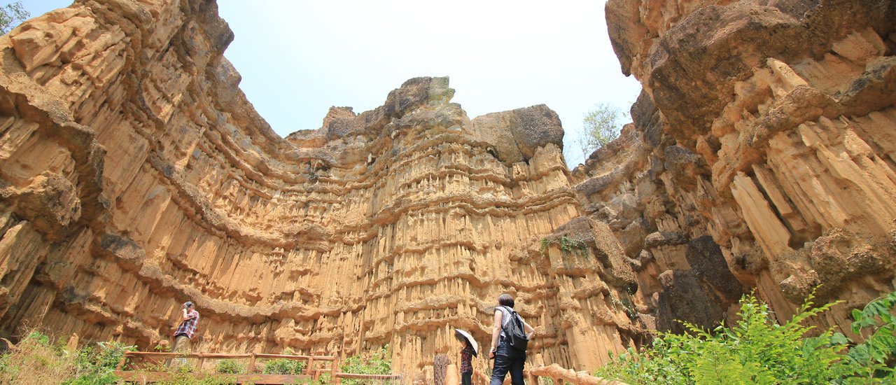
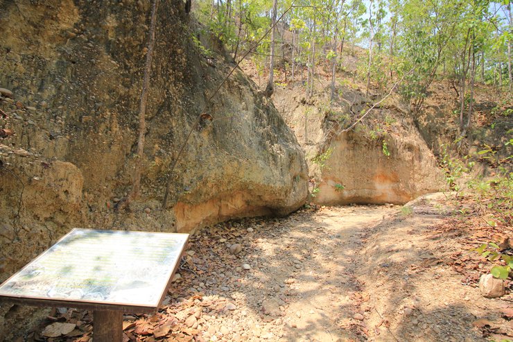
Pha Chor is hidden within Mae Wang National Park, Doi Lo District, Chiang Mai Province. It is a steep cliff, approximately 30 meters high, formed by millions of years of erosion from wind, rain, and natural processes. This area is said to have once been the path of the Ping River, as evidenced by the rounded river stones neatly arranged along the path leading to Pha Chor. Later, the river's flow changed, and the soil layers were uplifted, forming various rock formations. The Ping River's sediments accumulated over millions of years, creating the steep cliffs and oddly shaped earth pillars we see today.
Getting to Pha Chor: A Guide for Travelers
Reaching Pha Chor is a straightforward journey from Chiang Mai city. Follow the Chiang Mai-Jom Thong route, keeping straight without any turns. As you approach Doi Lo district, look for Wat Fahlang on your right. Once you reach the temple, make a U-turn.
Alternatively, if you're coming from the Khlong Chonlaprathan route, continue straight past the Mae Wang district intersection until you reach the junction with the Chiang Mai-Jom Thong road. Turn right towards Jom Thong. Shortly after, you'll find Wat Fahlang on your right. After the U-turn, drive a little further past the temple (approximately 200-300 meters) and take the first left turn (look for the signpost).
Continue on this road for about 17 kilometers until you reach the entrance of Mae Wang National Park. Here, you'll need to purchase an entry ticket (costing only a few tens of baht). Continue driving for another 7 kilometers. The road after this point is gravel, but it's well-maintained and currently being paved for improved accessibility. The section leading up to Pha Chor has already been paved, making the journey more comfortable.
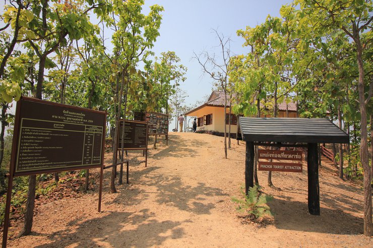
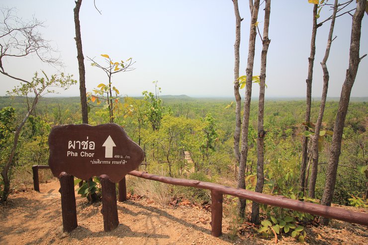
Ample parking is available at the top. However, to reach Pha Chor itself, you'll need to hike for approximately 400-500 meters along a nature trail. This trail offers a chance to immerse yourself in the surrounding forest and observe the local flora and fauna.

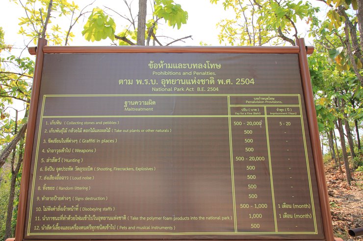
Let's first study the rules, regulations, and etiquette to avoid any penalties.

Now that we understand the rules, let's begin our 500-meter hike. The trail will take us through forests, hills, and streams, with both ascents and descents. It will be challenging, so please prepare yourselves accordingly. Check your footwear: high heels are not suitable; sneakers are best. Bring water, as you will definitely need it. A sweat towel would also be helpful. Are you ready? Let's go!


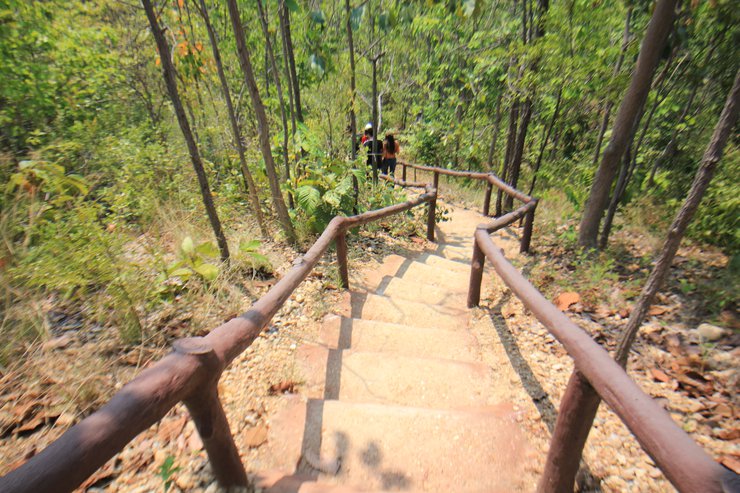
We begin our descent down the mountain, following a long, winding staircase. Our energy remains abundant, so we continue our journey.


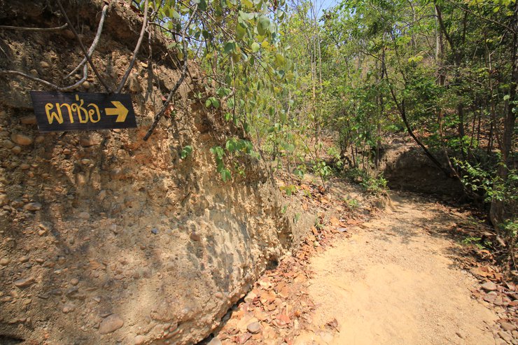
The rocks in this area are a beautiful natural sculpture. Nature has taken millions of years to create this beauty for us to enjoy. On both sides of the path leading to the cliff, there are layers of sedimentary soil with layers of river rocks embedded in them. When the topsoil is washed away by natural processes, the embedded river rocks appear, lined up beautifully on the sedimentary layers, as if someone had arranged them in an orderly fashion. Walking on these rocks improves blood circulation, like a natural foot spa. It's great.


At this point, there is a sign indicating that there are 150 meters left. Let's take a moment to study nature. Upon reaching this point, I encountered "เถาว์มะหนัง". What is it? Does anyone know? If you're curious, read below.


Continuing on, I encountered another peculiar object. I came across a "Mork Luang word." What is it, and does anyone recognize it?


This trip has been very informative. We're almost there, just a little further. This is a three-way intersection. The left path leads to the top of Pha Chor, while the right path leads down from Pha Chor. This is a one-way road, so everyone meets here.

At this point, we reach Mon Long Hang, a steep path with approximately 50 steps. I counted them myself. Mon Long Hang likely translates to "mountain to test our strength." At this point, the water and sweat towels we brought will definitely come in handy. Let's go!


Upon reaching the top, there were seats available for us to rest. We sat there for quite some time, laughing and looking at each other. It seemed like a meaningful moment. After a few more steps, we finally arrived at our destination.
We have arrived at Pha Chor. Isn't it beautiful? I will show you more stunning views soon.

Note: As there is no text provided in the original language, I am unable to translate it. Please provide the text you wish to be translated from Thai to English.


After enjoying the breathtaking natural beauty, we will embark on our return journey, covering the same distance we traversed earlier. Prepare yourselves, as our path will lead us through a remarkable landmark known as "Hohm Kong Keed." This enigmatic site is a "dimensional portal" that transports us from the present world back to the primeval world, where the wonders of nature converge. Millions of years ago, this area was submerged beneath the ocean, subjected to the relentless forces of water erosion. Subsequently, tectonic shifts caused this region to rise, transforming it into a mountain range. However, the vestiges of this ancient underwater world remain preserved for our admiration today, evident in the distinct layers of soil, rock, and sediment, a testament to the marvels of time.


This short trip was quite tiring. Let's continue with Mr. Roti on "Escape Trip".
Where should we go next trip?
นายโรตี หนีเที่ยว
Tuesday, October 8, 2024 10:25 AM

