


Less than a month after returning from Sapa, my hands and feet began to itch again. It whispered to me, "Let's go to Ta Lay." That's a good idea, but this time I don't want to travel far. I'd rather find a beach near Bangkok that I haven't been to before.
Please follow our page and website.
https://www.facebook.com/popputrip
"Travel is a never-ending education."
Reserve Traveler

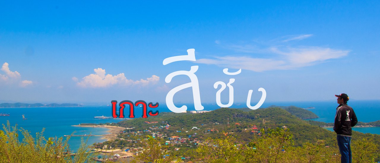
Our journey began with a one-hour drive from Bangkok to Si Racha. We parked our car at the Si Racha Municipality and walked to the Charin Pier (a temporary pier while the Koh Loi Pier is closed for renovation). The 50 baht boat ride offered a comfortable air-conditioned cabin with two floors. We enjoyed the scenic views for about an hour before arriving at the island at 10 am. The weather was perfect, with clear skies, sunshine, and beautiful clouds. We checked the last ferry back at 7 pm to avoid missing it. Then, we set out to find our trusty motorbike for the day's adventure. "250 baht per day, full tank of gas, return it here with the key when you're done, no need to refuel. If the bike is lost, call this number, and I'll find it myself, don't worry," explained the beautiful lady who owned the motorbike rental. After the explanation, she took the money, handed us the key and a map of Koh Sichang, and then walked away with a sassy hair flip. Wow! Koh Sichang is so easy to visit; I should have come here a long time ago.
Before embarking on their journey, the young riders fueled up with a seafood stir-fry at a nearby restaurant, paying 60 baht for their hearty meal. With their stomachs full, the spirit of adventure took hold, and they set their sights on the nearest tourist spot, the Khao Yai Shrine. (This review will not cover the popular check-in points on Koh Sichang, as many others have already written about them. Instead, we will focus solely on the Yot Phra Chulachomklao Peak.)

Let's begin our journey.


Khao Yai Shrine Viewpoint

We have arrived at Kya Shi Ra shoulder.
We started at the Khao Yai Shrine, then rode to the Khao Yai shoulder where a replica of the Buddha's footprint is enshrined. After paying respects to the replica of the Buddha's footprint (which, I must say, requires some fitness to reach on foot from the Khao Yai Shrine), we wandered around looking for a spot to take photos. Afterwards, we sat down to rest by the path. From this spot, we noticed an overgrown path with a sign indicating the "ยอดพระจุลเจ้าเกล้า" (Peak of King Chulalongkorn). We decided to ask a man selling flowers, incense, candles, and water to tourists about it. He highly recommended visiting, saying it was the highest viewpoint on Koh Sichang and offered a view of the inscription of King Chulalongkorn's name. With such encouragement, we couldn't resist the opportunity to explore.

At first, my heart was pounding because not many people go up there. So I looked at the path.

This tree has many owners, so please don't do this.

We have finally arrived at the national flagpole.
We walked along a dense path that seemed rarely used. After a while, we came across a stone staircase leading to the top of the mountain. Taking a deep breath, we began to climb the stairs one step at a time. The path was not difficult, but the height was considerable, forcing us to stop and rest at intervals. Once we reached the top of the stairs, we found a dense forest. According to the flower and incense seller, there would be a flagpole and an inscription "J.J.J." carved on a rock on the right-hand side. We had to see it with our own eyes. We climbed the rock with some effort until we found the inscription and rested for a while. Soon, we climbed back down and walked to the left as the seller had instructed. We found a small hill with about 20 steps leading up to it. At the top of the stairs was a cement platform with a small, five-tiered, golden umbrella on a cement base and traces of stones placed by travelers.


From this point, you can see the whole island. You can also see the Atsadang Bridge.


The panoramic view from the peak encompasses approximately 300 degrees, offering a breathtaking vista of Koh Sichang. A large tree partially obstructs the view on one side. My brother, who sells flowers, incense, and candles, mentioned that on clear days with a powerful zoom lens, one might even spot the main branch of Kasikornbank. While I cannot confirm the veracity of this claim, I can confidently state that the ascent was well worth the effort. The stunning scenery surpasses any expectations, making it a true hidden gem of Koh Sichang. It is unfortunate that the peak currently lacks proper maintenance. However, I heard that government officials recently conducted a survey and plan to revitalize this remarkable landmark. After capturing the breathtaking views and indulging in the beauty of the surroundings, we continued our journey on foot, following the recommendations of previous visitors.

Ashtadang Bridge

Tham Phang Beach

Si Chang Island Lighthouse

King Chulalongkorn's Peak
On August 14, 1891, King Chulalongkorn (Rama V) of Siam ascended Khao Yai (now known as Khao Yai Chulalongkorn) on the island of Ko Sichang. He ordered the erection of a 14 wa and 2 sok (approximately 27 meters) flagpole with a crossbeam and stairs. The flagpole, named "Sao Thong Atsadang," was used to signal ships entering and leaving the port. The king also inscribed his initials, "J.J.J.," and the name of the mountain on a stone marker, indicating his ascent to the highest peak on Ko Sichang, located on the northern side of the island.
***Royal Park (Wana) Ashtadangadevan***
Source: Royal Gazette, Volume 8, Issue 22, Pages 201-213
The Buddha's Sacred Footprint
On August 14th, 110 R.E. (2534 B.E.X), King Chulalongkorn embarked on a royal car journey to the summit of a prominent hill, which he subsequently named "Phra Chulachomklao Peak." Upon reaching the peak, he ordered the erection of a flagpole measuring 14 wah and 2 sok in height. This flagpole, equipped with an axis and a ladder, served the purpose of displaying maritime signal flags to aid in the navigation of ships within Koh Si Chang Port. Lieutenant Gulberg of the Navy Department oversaw the construction of the flagpole. King Chulalongkorn bestowed upon this flagpole the name "Atsadang Flagstaff" and inscribed upon it his royal initials, "Jor. Jor. Jor." The hill itself was named "Khao Mor," signifying its status as the highest point in the northern region of Koh Si Chang. Notably, this particular location marked the highest point visited by the King during his expedition.
Atsadangkhawan Royal Park
Source: Royal Thai Government
Volume 8, Section 22, Pages 201-203
Note: The information I extracted from the sign contains inconsistencies. Specifically, there are discrepancies between the Thai and English versions in the following areas:
- The year: 2434 in Thai corresponds to B.E. 2534 in English.
- The page numbers: 201-213 in Thai correspond to 201-203 in English.
- The term: "สัญญา" in Thai is translated as "Signal" in English.
It is impossible to determine which message is accurate. Please refer to the accompanying image of the sign.


POPPU
Tuesday, October 8, 2024 11:16 AM