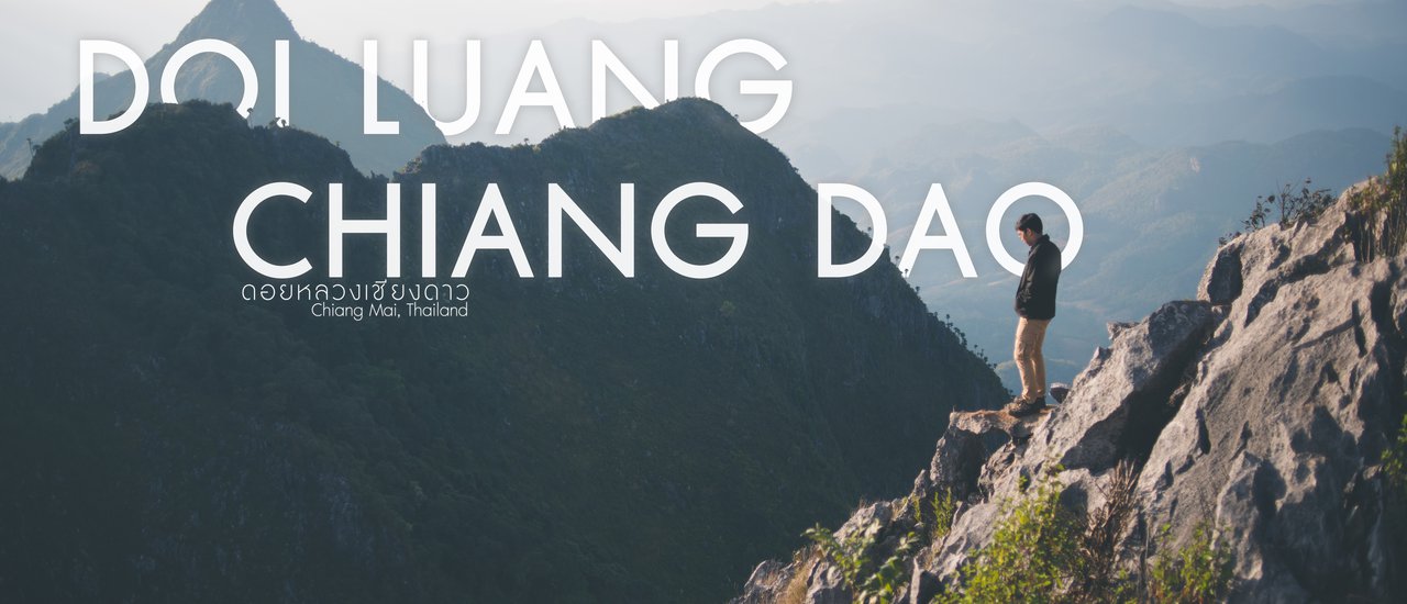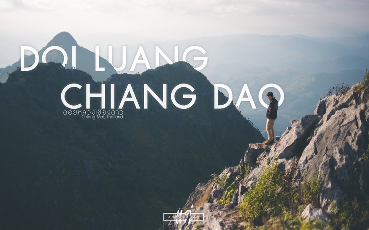
Doi Luang Chiang Dao: Chiang Mai
This is our second forest. The first forest was a western forest with an altitude of 1,767m MSL. We enjoyed the walk so much that we decided to come to this forest. This legendary forest is known for its cold weather, with an altitude of 2,225m MSL, making it the third highest in Thailand. With its beauty that everyone talks about, we wanted to see it for ourselves. The closer we get to the day of the hike, the less confident we feel. Will we make it? Our bodies are not fit at all. We are office workers who sit still all day. But what can we do? We've already paid the money, so we have to follow through with our promise. We and the Chiang Dao party climbed the mountain with a camp in Chiang Dao to reduce the burden of food, drink, and survival equipment in the forest. They took good care of us, so it was okay.
////Travel January 27-29, 2017/////
The Ascent of Doi Luang Chiang Dao: A Three-Day, Two-Night Journey
Note: The original text appears to be a heading for a travelogue or guide about climbing Doi Luang Chiang Dao, a mountain in northern Thailand. The translation maintains the original structure and provides a concise, formal title in English.
Day 1
- Chiang Dao District Office - Khun Huay Mae Kok Forest Ranger Station (Den Ya Krad Trail) (1,450m MSL) (07:00-08:30, 1.5 hours)
- Khun Huay Mae Kok Forest Ranger Station - Ang Slung Campsite (2,059m MSL) (09:30-14:20, 4-6 hours)
- Ang Slung Campsite - Doi Luang Peak (2,225m MSL) (16:00-16:40, 40 minutes)
- Doi Luang Peak - Ang Slung Campsite (2,059m MSL) (18:10-18:40, 30 minutes)
Day 2
- Ang Slung Campsite - Giw Lom Viewpoint North/South (2,100m MSL) (04:00-04:50, 50 minutes)
- Giw Lom Viewpoint - Ang Slung Campsite (2,059m MSL) (14:00-14:30, 30 minutes)
Day 3
- Ang Slung Campsite - Pang Wua (1,141m MSL) (09:00-12:00, 3 hours)
Please visit our Facebook page at https://www.facebook.com/whenigoout/.

The area surrounding the Khun Huai Mae Kok Forest Protection Unit, the starting point of the Den Ya Krad - Ang Slung Trail, is approximately 8.5 kilometers long.

A short walk later, we were greeted with this stunning view.

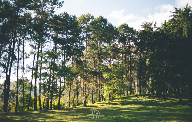
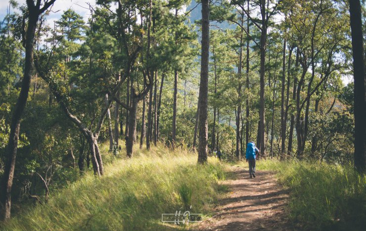
A leisurely stroll in the cool, refreshing air.

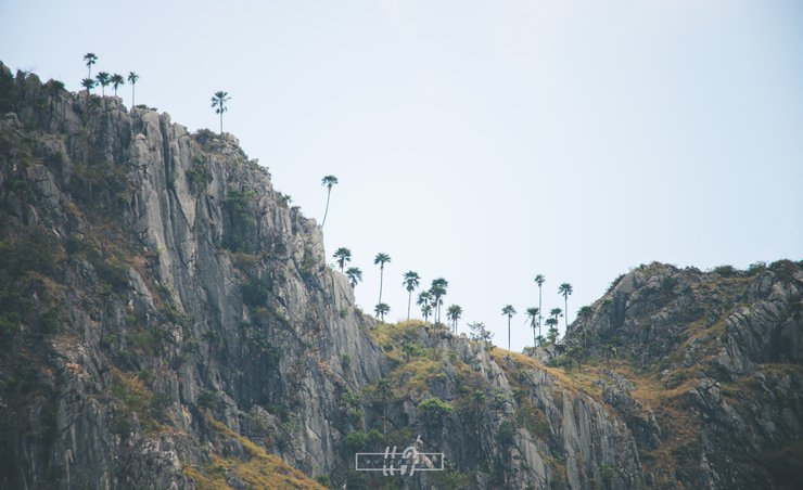
The Chiang Dao palm, also known as the cloud-loving palm, grows on limestone mountains.

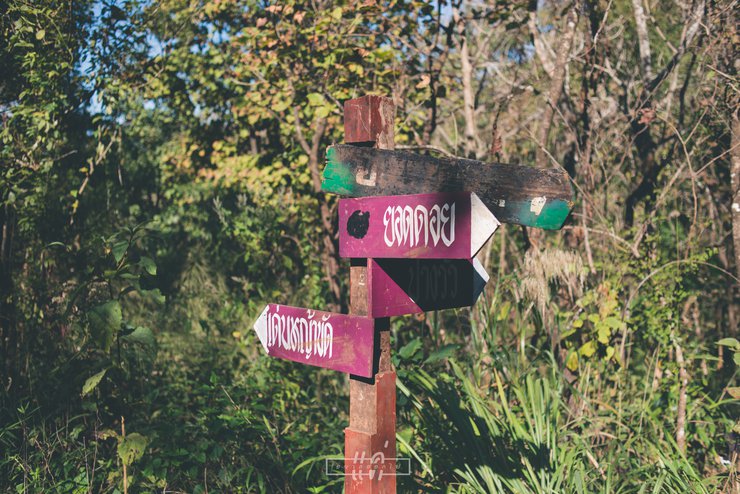
The sign at the fork combines the Det Han Ya Khat and Pang Wua trails into a single ascending path.
Reaching this sign indicates that you have completed half of the journey.

After walking for two kilometers on a steep, continuous path, I stopped to catch my breath and admire the Three Brothers Mountain.

Porters are farmers who work as hired hands only during the period when the mountain is open for climbing.

The alternating mountain passes were a sight to behold, and it was enough to make me forget my fatigue.

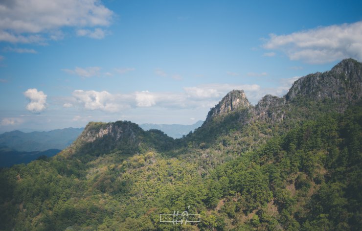
The final stretch of the trail reveals rocky mountains.

The flowers have all withered away and

From the peak of Doi Luang, we waited for the sunset together.

The sun sets perfectly behind the Three Brothers Mountain.

The last light faded quickly.

Time flies. The sun has risen over the southern Kiw Lom viewpoint.

Sea of fog.

Sea of fog.

This is the path leading up to Giw Lom. Imagine walking up here in the dark.

And we found flowers.

The central peak, Doi Luang, stands at 2,225 meters above sea level. At the foot of Doi Luang, you can see colorful objects. This is the Ang Salung campsite, located at an altitude of 2,059 meters above sea level. We are standing at the Kiw Lom viewpoint, which is 2,100 meters above sea level.

Mist, forest, mountains, us.

This location is situated on the southern edge of Kiew Lom, a mountain known as "Pha Ham Hot," which translates to "Shrinking Penis Cliff." The name aptly reflects the terrifying nature of this place.
To the left, a thick fog engulfs a treacherous precipice, while the right side presents a sheer drop into a dense forest. The combination of these elements creates an atmosphere of extreme fear and danger.

Sudkhet Pha Hamhot

A view of Giw Lom Nuea from Giw Lom Tai.

It is said that if you come here, you must see the gaur. Why didn't we see it? Answer! But we did see a barking deer. Did you find it?

Finally, this is the path down to Pang Wua. It's very slippery.
Summary of the experience:
Trail:
- The trail is considered easy to moderate, with a gradual incline and clear path.
- The steepest section is about 1-2 kilometers long.
- Hiking boots are recommended due to slippery and rocky terrain.
- The descent uses the Pang Wa route, which is steeper but shorter and requires walking sticks for support.
Weather:
- The hike is pleasantly cool with a refreshing breeze.
- The forest provides ample shade.
- Nights are very cold, with temperatures ranging from 6-9°C at the campsite, 11-14°C at the summit, and 6-11°C at the Kiw Lom viewpoint (with strong winds).
Clothing:
- Pack warm clothing to avoid shivering at night.
- Gloves are essential.
Food:
- Meals are provided by porters during the hike.
Toilets:
- Pit toilets with privacy screens are available, but they are insufficient for the number of visitors.
- It's recommended to use the toilets at night to avoid unpleasant sights.
- Wet wipes are highly recommended.
- No showers are available, so dry baths are necessary.
Luggage:
- The roundtrip hike covers 15 kilometers. Pack accordingly to your fitness level.
- Consider hiring porters for heavier loads.
- A headlamp is crucial for the early morning ascent to Kiw Lom, which is steep and dark.
Overall experience:
- The scenery is breathtakingly beautiful.
- The hike is enjoyable with cool temperatures and stunning views.
- The sunrise at Kiw Lom viewpoint is particularly spectacular, with mist swirling around you.
- While the elusive serow was not spotted, the sighting of a barking deer made the trip worthwhile.
- The abundance of wildflowers adds to the charm of the experience.
Recommendation:
- This hike is highly recommended for its stunning scenery and enjoyable experience.
Photo of a group of people having fun at a bar.
/////Trip Budget/////
- Total expenses: 2,650 THB
***Excluding transportation costs from Bangkok to Chiang Mai / Chiang Mai to Bangkok
***Excluding accommodation costs for the night of January 26th
แค่อยากออกไป
Tuesday, October 8, 2024 11:31 AM

