


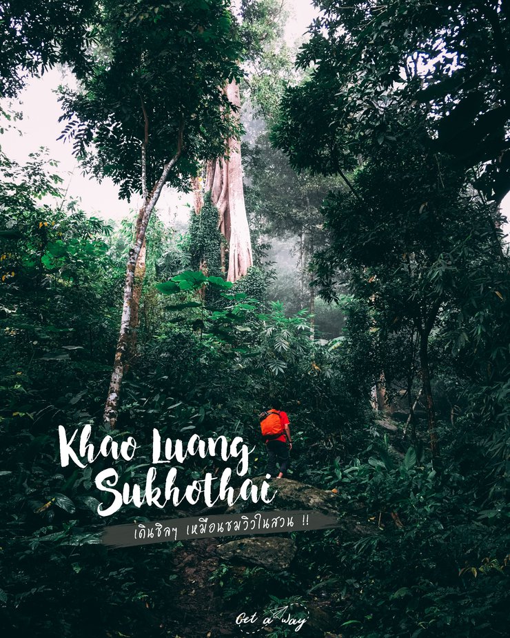
Khao Luang National Park, Sukhothai
Khao Luang, located within Ramkhamhaeng National Park in Khiri Mat District, is the highest peak in Sukhothai Province, reaching an elevation of 1,200 meters. The trek to the summit from the park headquarters covers approximately 3.7 kilometers, although the actual distance is closer to 4 kilometers. The trail is characterized by its steep and slippery terrain, with minimal flat sections. Hikers can find water filtration points along the way for refilling water bottles. The summit offers stunning panoramic views from various cliffside vantage points.
For transportation, we joined a group of friends on Facebook, which made the trip quite convenient as we rented a van together. However, for those who are planning to go on their own, here's a rough guide: Take an overnight bus from Mo Chit Bus Terminal to Sukhothai. You will arrive in Khiri Mat District in the morning. From there, you can hire a car to take you to the park (this is just an estimate).
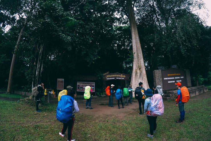
We arrived in the early morning and stopped by the market to buy provisions and fresh food before entering the national park. Upon arrival, we contacted the park rangers, paid the necessary fees, changed our clothes, and prepared ourselves before starting our hike.

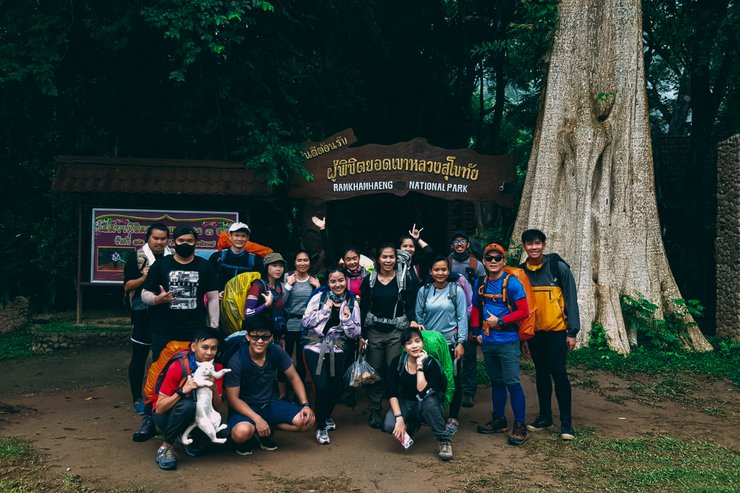
Before the climb, their faces were still bright and cheerful. Wait and see, haha.

Let's go!


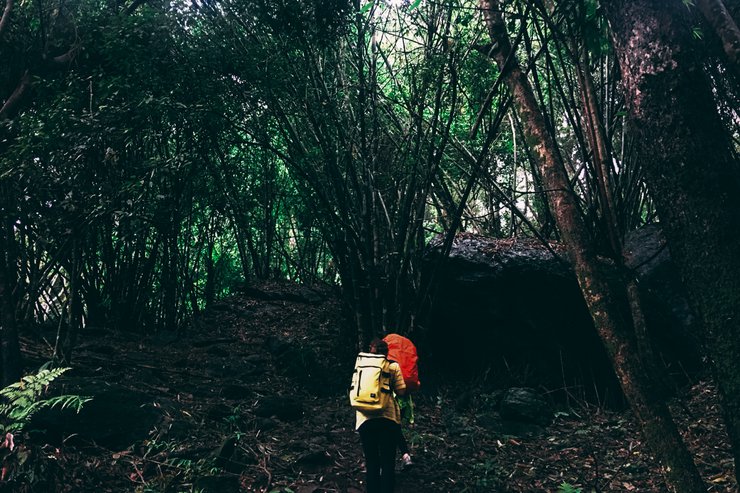
Along the way, there are rest stops with filtered water available, so you don't need to carry a lot of water. It's heavy! Just walking is bad enough. 555


Hikers typically take 3-4 hours to reach the summit, but it took me 5 hours due to my leisurely pace and frequent photo stops. The trail was quite steep and slippery, and there were occasional rain showers.
And finally.

Upon arrival, we secured a spot to pitch our tents and took a shower to change clothes. We waited for the porters to carry our belongings up, which cost 25 baht per kilogram. The campsite has restrooms and electricity, but it is only available from the evening until 10 pm.


While waiting for dinner, we decided to explore the nearby area, specifically the pagoda's peak.


Is this the pagoda? I'm not sure, but the sign says it's around here. I guess so. ^^


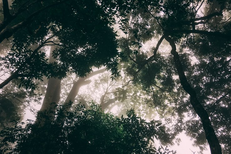
The sky is overcast today, with heavy fog obscuring everything in sight. It seems that a storm is approaching.
Returning to the campsite, we all helped to prepare dinner.


Hungry, aren't you, you dog!!

Dinner is ready! I'm so hungry!

After dinner, we sat and talked, played games, and when it was time for bed, we went our separate ways, each to our own tent.
The wind was extremely strong last night, and it rained heavily. I barely slept, fearing that the tent would collapse.
The scene cuts to the next morning. We are now at Phra Narai Cliff, where the wind is still strong, the fog is thick, and the sky remains overcast.


The sky cleared briefly, so I had to quickly take a few photos.

After returning to camp, they had breakfast, packed their belongings, and prepared to descend the mountain.

The descent will take only 2 hours. ^^ But there are fewer people than this.
Okay, that's the end of my trip. If anyone wants to experience nature and breathe fresh air, get your body ready (I still have sore legs as I type this, lol). If you're lucky and the sky is clear, you might even see a sea of fog. I'm thinking about going again. Thanks to everyone who read this.
Finally, I would like to leave you with my small travel page. Click here >> get a way


pennuenq
Wednesday, February 26, 2025 6:56 PM