The Pitukohro Waterfall, also known as the Pertoh Lo Su Waterfall, is located on the Sam Mun Mountain Range in the Umphang Wildlife Sanctuary, Umphang District, Tak Province, Thailand. It is renowned as the largest and tallest waterfall in Thailand, with a height of over 500 meters (measured by GPS), nearly twice the height of the Baiyoke Tower. The two streams of water flow down from Doi Mamuang Sam Mun and converge into one at the steep cliff, creating a heart-shaped appearance. To visit the Pitukohro Waterfall and conquer the summit of Doi Mamuang Sam Mun, it is recommended to spend 3 days and 2 nights, as this allows for sufficient time to relax and enjoy the hike to the waterfall.

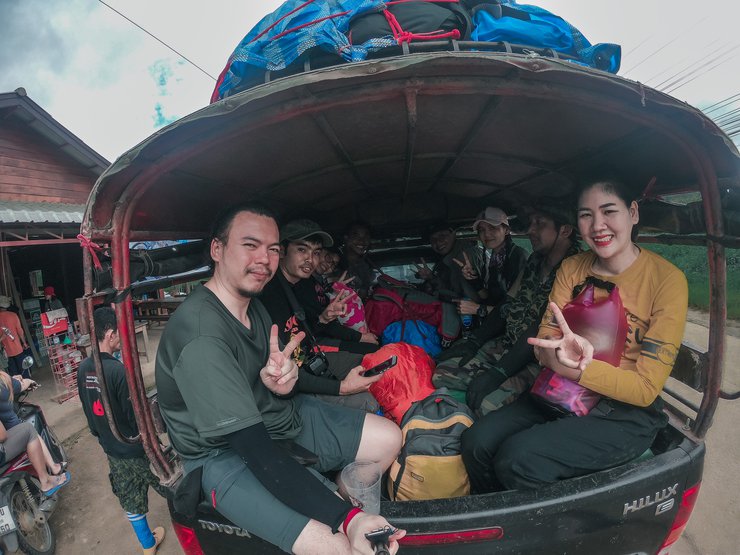
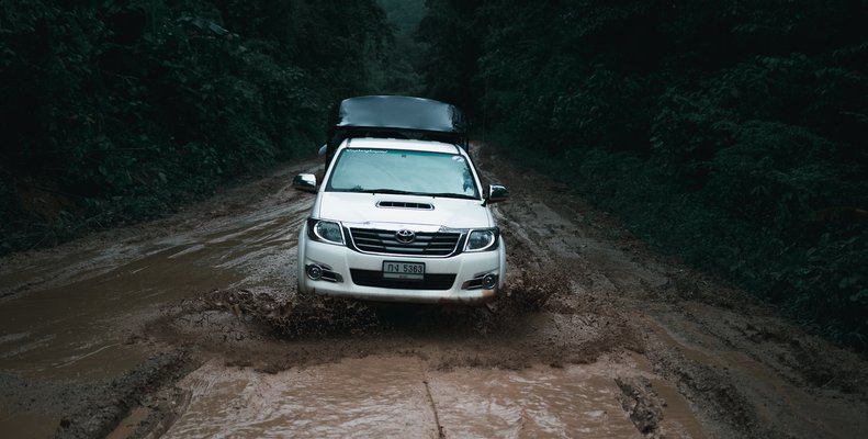
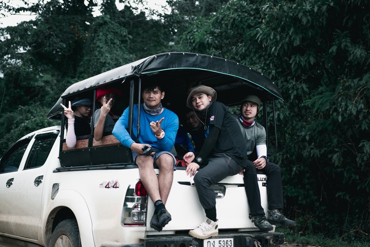
The journey begins in Umphang District, Tak Province, following the Umphang-Ban Beung Kling route, which is approximately 60 kilometers long and takes about 2 hours, depending on road conditions and driver skills. Upon reaching Kui Leut Village, a 2-4 hour hike through mountains and streams is required to reach the campsite, depending on individual walking speed. From there, a further 2-hour hike leads to the waterfall.

(The road conditions in some sections are so bad that they are a 5-star thrill ride.)

** **
We have reached the starting point for the hike.

** **
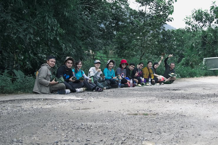
We arrived at the starting point for the hike just after noon, so we refueled with a packed lunch at the outdoor dining table before setting off.


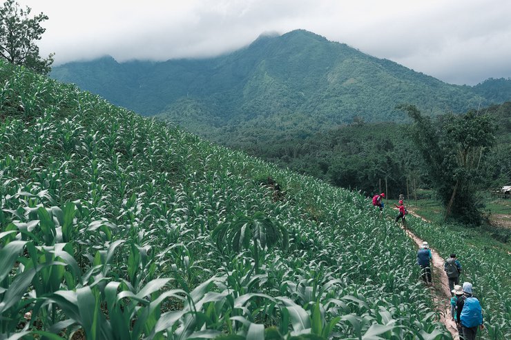
The initial section of the trail traverses rice paddies and maize fields that are planted on rolling hills, creating a picturesque and serene landscape. However, it is imperative to refrain from damaging the crops of local farmers.

Walking alone is lonely, so I want us to walk together...

Like this (I bet the readers must have smiled at this shot)

After the cornfield, we will encounter another highlight of the trail: a section where the water is flooded, reaching knee-deep in some areas.

Don't worry, let's go for it because this trip will definitely be wet, wet, and wet.

Did you encounter any mud while wading through the water? Did you get dirty?

Let's move on.

I believe everyone has their own path, but sometimes it's good to follow others.

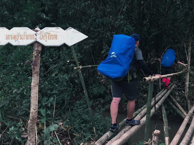
Continuing on, you will reach a point where you must cross a stream that is waist-deep and has a strong current. While there is a bamboo bridge available for a more relaxed crossing, it wouldn't be as exciting. Crossing here is much more thrilling, and you can even enjoy playing in the water.

Here we will see the good moments of our fellow travelers.

And these heartwarming moments from fellow travelers.


The scenic beauty of nature by the roadside

This is Aun, the warm-hearted man of the girls on the trip. Seeing him so clean, you might not know that his left side was covered in mud from head to toe. He was the first one to slip and fall into the mud during the trip.

And here we are at the campsite. Let's set up our tents for a relaxing stay.

Why wait? Let's go play in the water! Our campsite is right next to a stream.

This is a landmark that everyone comes to play at.
Unfortunately, I don't have a light-reducing filter, so I can't share any flowing waterfall images.


After playing in the water, we helped each other cook and eat together.

As dusk settled, it was time for our evening meal. I've always believed that sharing a meal in the wilderness with strangers creates a unique and special bond, especially on the first night. After satisfying our hunger, we introduced ourselves, exchanged stories, and got to know each other better.

If you go as a couple, you will come out sweet like this. Send him to sleep on the first night with this picture to make you smile.
I'm off to rest now. Tomorrow, I must embark on a mission to find the heart of the legendary Phaya Pit at the peak of Doi Mango Sam Wan.

The next morning, after completing our mission and having a snack, we set off to conquer the summit of Doi Mamuang Sam Mun.

Taking photos along the way.

While taking pictures, my brother ended up lying on his back taking pictures with the grass. 5555

As we continued walking, we reached a viewpoint offering a stunning aerial perspective of the Pitu Groh Waterfall. This popular landmark is a favorite spot for capturing breathtaking photographs.

Pharmacist Meme, a beautiful pharmacist with a lot of medicine, who can help with any ailment.

This is a popular spot.


Let's keep going, 30,000 is still a long way off.
No text provided for translation.

This is the spot with phone signal and internet access where we can take photos and check in. However, this is not the 30,000 peak yet. We still need to continue our journey.

Although the summit of Doi Mae Mo Wang Sam Muen is far away, the scenery along the way is so spectacular that it almost makes you forget your fatigue.

However, a bit of luck is also needed, as the sky may be covered with fog after the ascent, making it impossible to see anything.


The view is incredibly stunning.


Before we head back down to continue our search for the heart of the mountain, let's take one more group photo.

The beauty of wildflowers in the forest


The forest here is remarkably pristine, as evidenced by its lush greenery and diverse plant life.


Descending from the peak of Doi Mamuang Sam Mun, after a short walk, we encountered the highlight of our journey: the Pitukrok Waterfall, the heart of the mountains.


This pose requires dedication to live up to its name, the heart-shaped waterfall.

This trip was made possible by the good fortune of our dear friend Kukkik, who opened the heavens and allowed us to witness this magnificent view.

The journey concluded safely and beautifully, thanks to all the strangers who became friends and companions. I firmly believe that happiness lies not in the destination, but in the camaraderie of fellow travelers and the stories along the way. These are the true sources of joy for us, the wanderers.
Pattanachai Gigs
Wednesday, February 26, 2025 8:47 PM


