**The vehicle, including the undercarriage and brakes, was thoroughly inspected beforehand.**

The journey begins…
November 10, 2016, 5:00 AM
Waking up with the determination to reach my destination, I had already set my mind on getting there by any means necessary. After researching the available routes, I discovered two options for ascending Phu Thap Boek: 1. The Lom Kao route in Phetchabun Province, which is shorter but steeper with long, continuous curves. 2. The Nakhon Thai route in Phitsanulok Province, which is less steep and offers a more comfortable ascent.
6:00 AM
Departed from Bangkok with a full tank of diesel, costing 1,500 baht.
The route from Don Mueang to Rangsit, passing through Saraburi, Lopburi, and Phetchabun, has a bypass road around Phetchabun, making it much easier to navigate.
The journey is not difficult, but it is important to be physically and mechanically prepared. It is recommended to take breaks every 100-150 kilometers to stretch and rest.
Follow Route 2327 and turn left onto Route 2331. At the turn, there will be a 7-Eleven and a gas station on the opposite side. It is recommended to stock up on food, drinks, and other necessities, as well as ensure you have sufficient fuel. This route leads to Phu Hin Rong Kla National Park, Lan Hin Pum, and Lan Hin Taek, which are located in the same direction as Phu Thap Boek. Take the left fork to reach these destinations.
The distance from this point to Phu Thap Boek is approximately 20 kilometers, taking about 30-40 minutes. Along the way, there are approximately 4-5 rest stops and scenic viewpoints.
Drive slowly and steadily.
11:30 AM
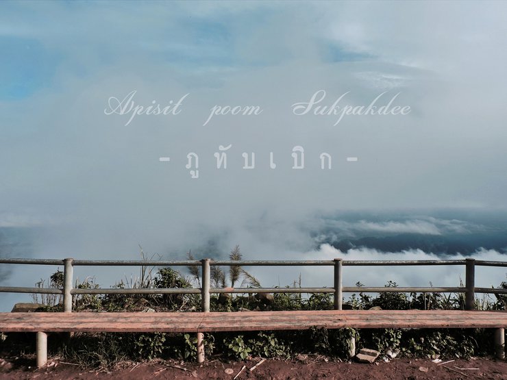
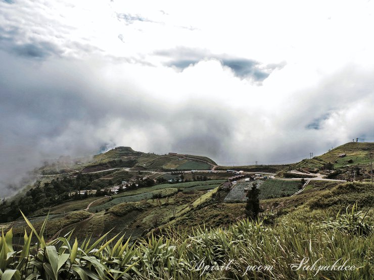
We have arrived at Phu Thap Boek.

Stop for a photo.

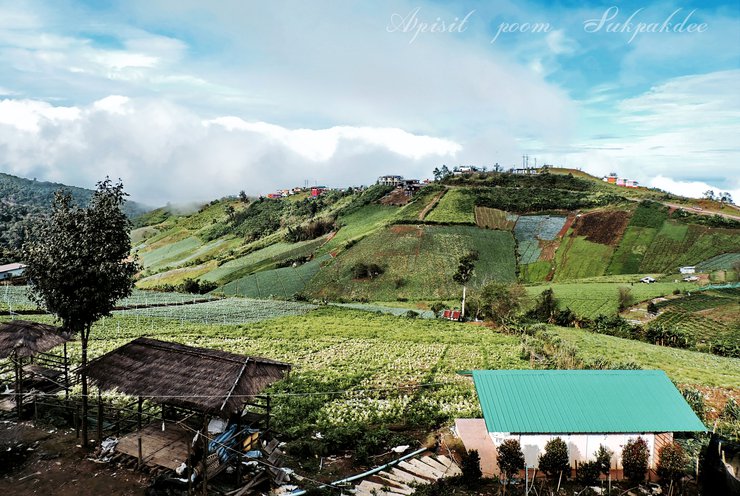
Accommodation is available at Lung Tai Homestay for 500 baht per night, including breakfast, free Wi-Fi, and hot water. It is located approximately 700-800 meters from the temperature measurement point.

View from the accommodation (Lung Tai Homestay)

**Stroll and take photos**

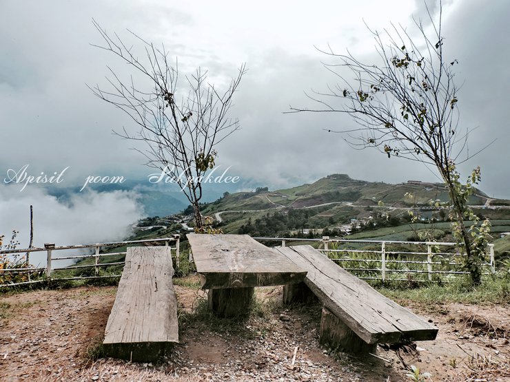
Observatory and Thermometer Building

The community enterprise office at Phu Thap Boek offers tents, blankets, and pillows for rent.

Temperature Measurement Point
Note: I have translated the phrase "บริเวณจุดวัดอุณหภูมิ" to "Temperature Measurement Point" based on the context of a location where temperature is measured.

Temperature measurement point

Community Camping Area

Cabbage
Please Translate:

****
To conclude tonight with...

**November 11, 2016**
Waking up to dense morning fog, a hot cup of coffee is just what I need.

Drive down
Driving downhill is especially important because of the dense fog, which significantly reduces visibility.
Engine Braking: A Crucial Technique for Safe Driving
Engine braking, utilizing the engine's resistance to slow down the vehicle, plays a vital role in safe driving. It reduces the workload on the brakes, preventing them from overheating and potentially failing, especially during extended downhill driving.
Overuse of the brakes, known as "brake fade," can occur when the brakes are held down for prolonged periods, causing excessive heat buildup. This heat can compromise the braking system's effectiveness, leading to a dangerous loss of braking power.
Engine braking effectively complements the braking system, minimizing wear and tear while enhancing overall control. By engaging a lower gear, the engine's natural resistance helps decelerate the vehicle, reducing the reliance on the brakes. This technique is particularly beneficial on steep descents, where continuous braking can lead to brake fade.
Therefore, incorporating engine braking into your driving habits promotes safer and more efficient vehicle operation. It alleviates the strain on the braking system, preventing potential brake failure and ensuring optimal control, especially in challenging driving conditions.
If you are unsure, you can stop at any point. This is a good opportunity to take photos.
Take Route 2331 and turn right onto Road 2372. Continue driving until you reach Highway 12.
**Route 12, the Romantic Road**, as it passes through both Moai@Khao Kho - Ratchamangkhala Phiseksomphot Garden Viewpoint - Return Life to the Land Restaurant - STORY CUP - ROUTE12.
10:30 AM
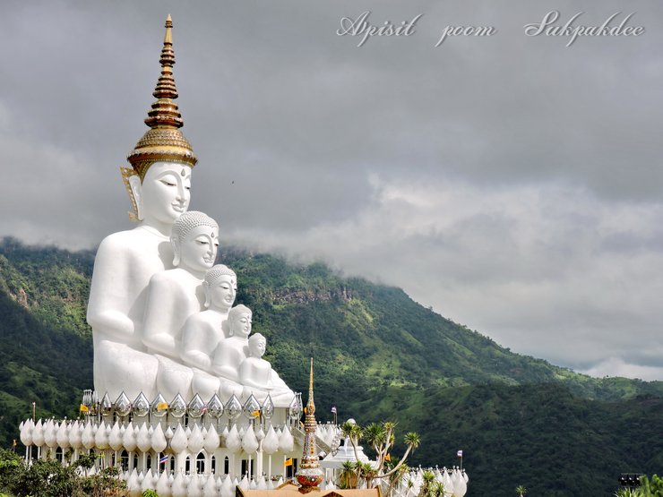
Temple of the Hidden Crystal Relics, Kaeng Sopha District, Khao Kho District, Phetchabun Province.

Phra That Pha Son Kaew Temple

Phra That Pha Son Kaew Temple

11:30 AM
**PINO LATTE is located approximately 1.3 kilometers from Wat Phra That Pha Sorn Kaew.**

Pine Latte

PINO LATTE

Turn right at Road 12 after exiting the entrance to Wat Phra That Pha Sorn Kaew. Travel approximately 12 kilometers to reach ROUTE12 restaurant.
12:30 PM
Route 12

Is there anything else I can help you with?
ROUTE 12

ROUTE 12

ROUTE 12

Head to the Khao Kho Windmill Farm via Route 12. Turn right at the Camp Son intersection onto Route 2196. Continue driving and you will find many resorts and accommodations along the way. Turn right onto Route 2305, which is a steep uphill road. Drive to the end of the road and you will reach the parking lot. Parking fee is 20 baht.
2:00 PM.
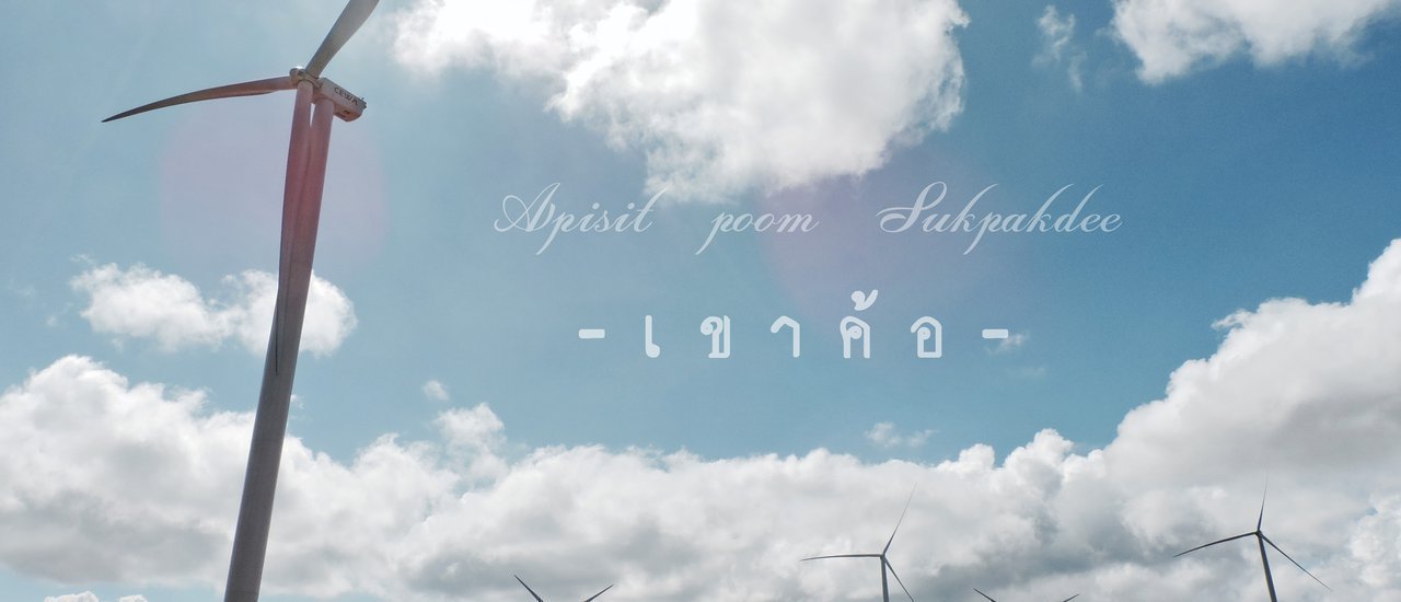
The wind turbine field is located in Ban Phet Dam area, Tung Samo Subdistrict, Khao Kho District, Phetchabun Province.

Wind farm

GB Khao Kho Farm is located in the same area as the Wind Turbine Field.

Is there anything else I can help you with?
Wind Turbine Field

Wind farm

**Love it! So cute!**

Hmong Formula

GB Farm

The sentence is already in English and does not require translation.
Continue to Khao Kho Post Office via Route 2305. Drive to the end of the road and turn right onto Route 2196 for approximately 8.8 kilometers.
3:00 PM
Khao Kho Post Office, Khao Kho District, Phetchabun Province

**
**
Khao Kho Post Office

3:45 PM.
This area was once a cannon base, providing fire support for the battle.
Weapons Museum (Itthipongse Base) Khao Kho

Weapons Museum (Itthi Base) Khao Kho
Note: This translation is concise and simple, as requested. It does not include any additional information or context.


Continue to Khao Kho Palace, Route 2196, turn right at Road 2258, distance 13.9 KM.
**4:30 PM.**
Phra Tamnak Khao Kho, Khao Kho District, Phetchabun Province
Note: I have translated the sentence into English while maintaining the original HTML structure.

It was getting late, so I searched for hotels in Phetchabun. I was exhausted from driving and traveling. I found a hotel called THE D HOTEL and called to check if they had any rooms available. They did, so I'm driving there now.
Ending the day by driving to THE D HOTEL in downtown Phetchabun for 500 baht/night. Free WIFI, LED TV, breakfast, coffee, and bread included.


The journey ended with a return to Bangkok on the morning of November 12, 2016, leaving a lasting impression.
Thank you very much for following.
Summary of expenses
**Fuel cost 1,500 + 500 baht (refill on return trip)**
The first night's accommodation at Lung Tai Homestay in Phu Thap Boek costs 500 baht, while the second night's stay at THE D HOTEL in downtown Phetchabun costs 500 baht.
**Living expenses not exceeding 500 baht, including lunch, coffee, dinner, and a few beers.**
Total 3,500 Baht
Facebook: https://www.facebook.com/poom.evolution.9
YOUTUBE: https://www.youtube.com/channel/UCawmAphtDjSCkoB89pIbXWw/featured?view_as=subscriber
Apisit Poom Sukpakdee
Friday, October 4, 2024 3:01 PM

